
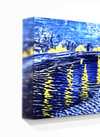
Óleo sobre tela pintado à mão no tamanho e moldura de sua escolha, feito sob encomenda pelos nossos artistas. (![]() Comprar impressão
Comprar impressão![]() Comprar imagem)
Comprar imagem)
Escolha entre os nossos tamanhos pré-definidos que respeitam as proporções originais da obra de arte.
Pode inserir as suas próprias dimensões para se adequar a uma moldura ou espaço específico. Se o tamanho selecionado não corresponder às proporções da imagem original, iremos cortar a obra de arte ou estender a pintura com elementos adicionais pintados à mão. Um esboço digital será enviado para sua aprovação antes do início da produção.
Tenha em atenção que a pré-visualização no ecrã não reflete o corte ou extensão real. Apenas o esboço mostrará com precisão a composição final.
Embora tamanhos personalizados estejam disponíveis, recomendamos selecionar uma dimensão da lista predefinida para preservar as proporções originais.
Entrega mundial () em 3 a 4 semanas, em vez das 5 semanas padrão. (22 Agosto). Sem comprometer a qualidade.


Guadeloupe
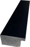
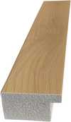
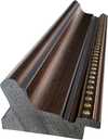
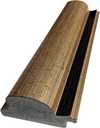
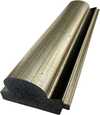
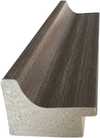
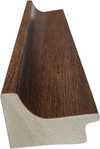
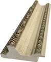
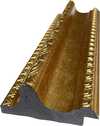
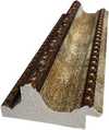
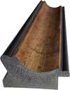
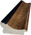
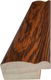
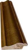
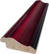
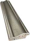
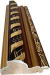
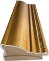
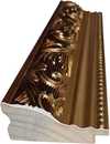
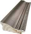
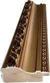
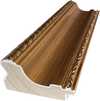
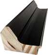
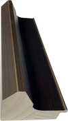
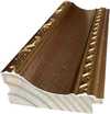
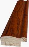
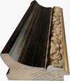
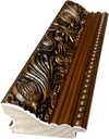
Tamanho da Reprodução

1719 - 1771


Fique por dentro das últimas notícias de arte, ofertas exclusivas e ideias de decoração.
Conte-nos sobre o seu projeto e os nossos especialistas em arte fornecerão 3 sugestões de arte personalizadas.
Deixe que selecionamos 3 opções especialmente para você – Grátis!
 Compartilhar
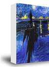

 A opção de vidro está disponível apenas para tamanhos inferiores a 110 cm


